Everton
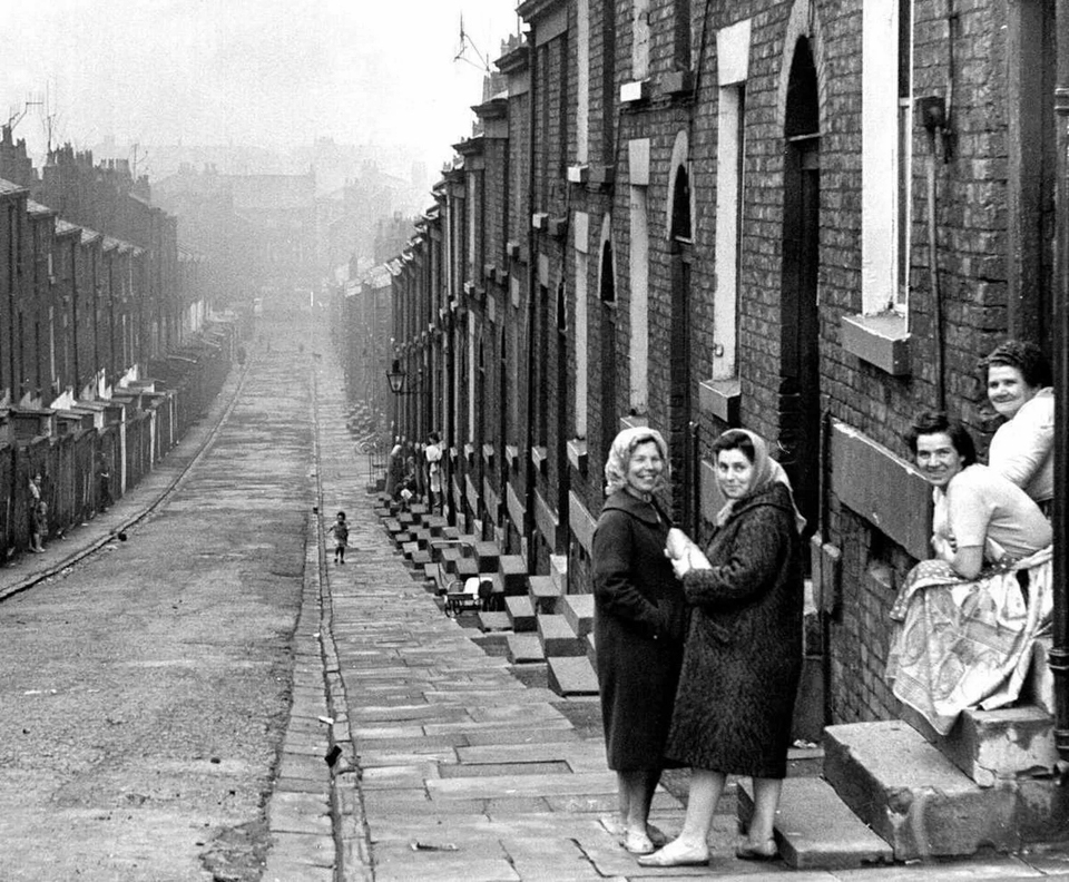
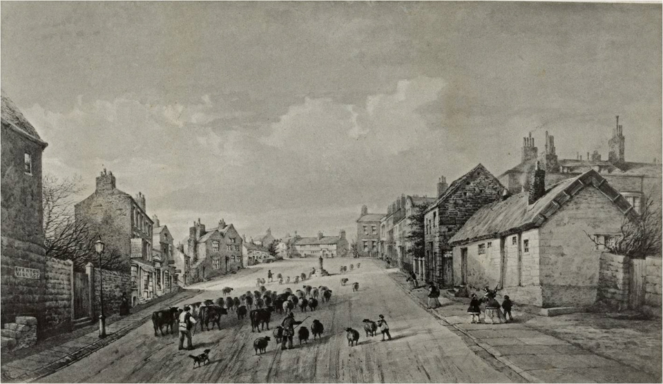
Everton is located to the east of the city centre. For many centuries it was a small village with a population of a few hundred, but as Liverpool prospered at the end of the 18th century rich merchants soon began to build large villas on Everton’s rolling hills to escape the dirty city.
The merchants had the area to themselves for a couple of decades, but by the early 19th century Liverpool’s demand for housing saw Everton begin to be built up.
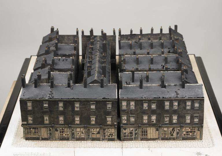
The mansions were torn down and replaced with packed streets of terraced houses and small industrial works, served by new churches, schools and shops. The roads were widened along the main routes for new tramways. Housing quality was poor, with large families often living in one room of a small terraced house or court.
Courts were a type of high-density, low-quality housing prevalent in Liverpool during the 19th century when it is estimated that approximately half of Liverpool’s working-class population lived in such housing. These homes were built in small, cramped spaces behind street-front houses and shops and faced onto courtyards. They were accessed through narrow passageways. They were often overcrowded and poorly maintained, leading to their reputation as slum housing. The often had just one communal toilet and drain shared by all the residents.
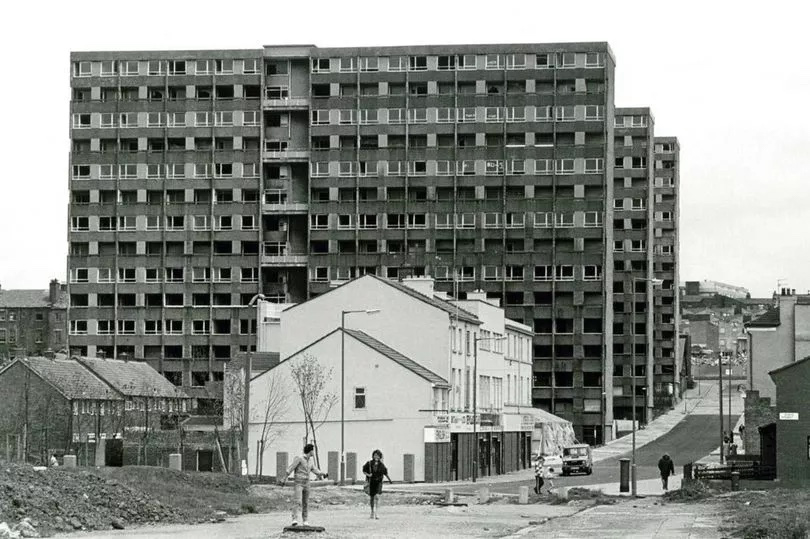
Everton was transformed post-war as the well-meaning council began to clear the slums, with most shipped into new accommodation elsewhere in the city. Once close-knit communities were destroyed, never to recover. The population dropped by over 100,000 as Everton Park replaced once densely packed streets with fields and trees, with new housing and high-rise buildings surrounding it.
West Derby
West Derby sits to the east of Everton and Walton and in the 11th century was the main administrative area for the Norman Conquests, with a castle that has long since disappeared. The original village grew around the gates of Croxteth Hall, built in 1575 as the country estate and ancestral home of the Molyneux family, the Earls of Sefton.
As Liverpool grew in importance, it gradually expanded towards West Derby, and by the early 20th century it was largely residential, albeit relatively green with wide spaces between the buildings. A mid-1920s map shows that Liverpool abruptly ended against the track of the railways. This was not to last for long.
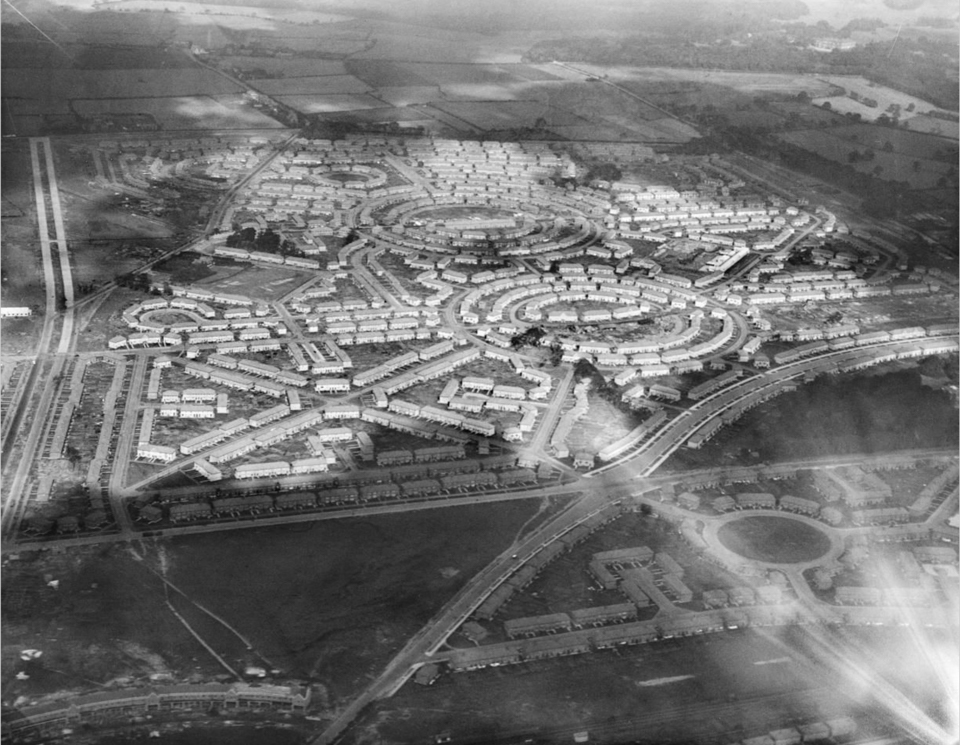
Building began on the Norris Green estate in June 1926, intended to provide 5,000 modern homes for those displaced by the Liverpool slum clearances. Within three years, the estate had a population of 25,000, and eventually grew to over 37,000 in 7,689 houses. Most of those were skilled or semi-skilled working class who could pay the council rents. All the homes had three bedrooms, electricity, hot water, front and rear gardens, and a sense of space and fresh air. Most were built of unglazed brick but, to build faster and more cheaply, there were some 3,000 pre-cast concrete homes. There was little landscaping and a great deal of uniformity in the housing. Combined with the layout of circles, crescents and cul-de-sacs, many residents regularly got lost.
As unemployment rose in the 1930s, many residents fell on hard times with around 40% moving back into the city. It remained a settled and desired Corporation estate into the 1970s. This soon changed. New rules for council housing resulted in many tenants being those in financial difficulty. By 1981 one third of residents were unemployed. The result was an escalation of crime and anti-social behaviour, combined with a severe physical decline. Although the estate was subject to large-scale upgrading and renovation, it is still a troubled area.
Croxteth
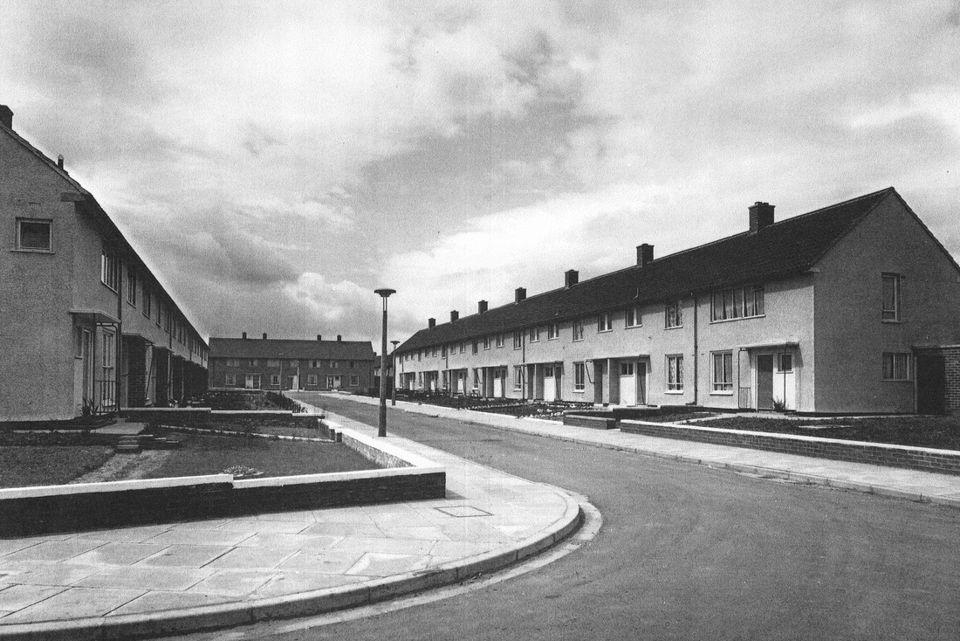
Until the early 1950s Croxteth, to the east of the Norris Green Estate, was little more than a few farm buildings. It soon became a series of massive residential extensions to rehouse families from the Scotland Road area displaced by the slum clearances. The first families arrived in 1951 to find an estate that was without roads, pavements, shops, pubs, or buses.
Further reading:

