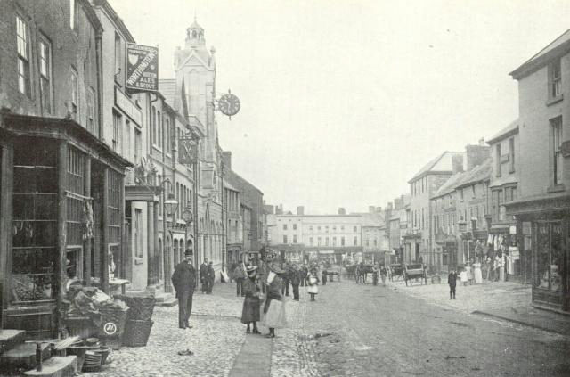
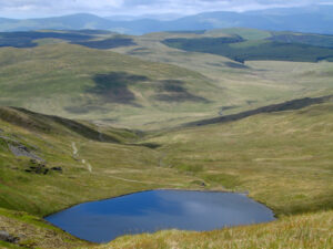
My ancestors have strong connections to North Wales, and to the villages and towns of Flintshire in particular. This blog aims to take a brief look at those places to set their stories in context.
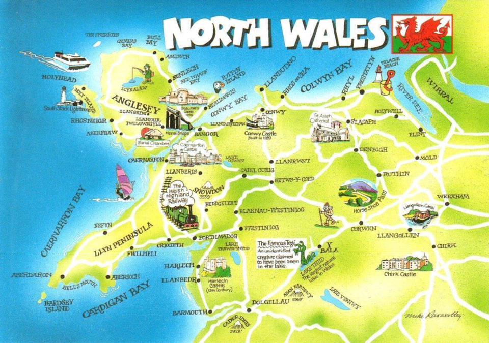
The boundaries of North Wales are undefined, although the most common definitions include Anglesey, Conwy, Denbighshire, Flintshire, Gwynedd, and Wrexham. To the south are Ceredigion, Powys, and the rest of Wales, while the English counties of Shropshire and Cheshire are to the east, and the Irish sea to the north and west. The area is highly mountainous and rural, with the 700,000 population more concentrated in the northern coastal areas. The region is steeped in history and remains a stronghold of the Welsh language and a centre for Welsh national and cultural identity.
Flintshire
Holywell lies southwest of the Dee estuary and takes its name from St Winefride’s Well, one of the Seven Wonders of Wales that has been attracting pilgrims since the 7th century. They were housed in an abbey in the nearby village of Greenfield. The two were connected by a fast-flowing river which by the 18th century had helped a range of industries flourish, including corn mills, and smelting and working of locally mined copper. The Industrial Revolution saw the manufacturing of cotton, paper, and soft drinks, while a zinc smelting works said to be the most modern factory in Britain.
Two miles down the coast road from Greenfield is Bagillt, which was the local coal mining centre with hundreds of men working in the 11 collieries that surrounded the village. There were also foundries producing refined zinc, lead, and iron. Quays for fishing boats were developed into docks where cargo destined for the factories and foundries of England were loaded, with another further up the coastal road at Mostyn. The Great Depression of the 1930s brought hardship as industry and collieries were closed. Many left in search of work, and it remains an area of poverty today.
Further down the coastal road was the county town of Flint, which grew up around the castle built by Edward I during his campaign to conquer Wales. During the Industrial Revolution there was a small port to serve local coal mining and chemical industries. Three artificial silk factories were built in the early 20th century which together employed thousands of people.
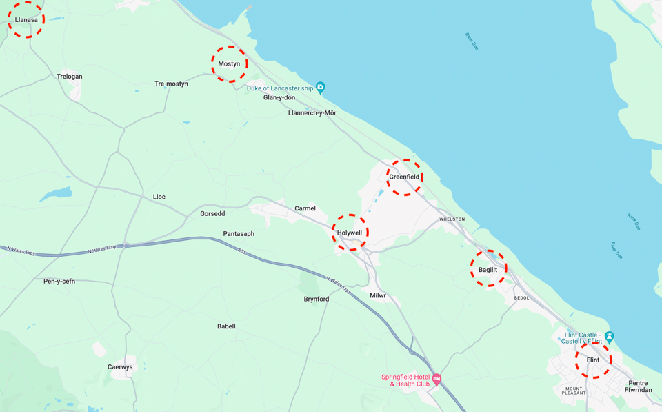
A few miles to the north of Holywell lies Mostyn. It has a privately owned port that in the past had a colliery and ironworks, making it a profitable enterprise that employed 1,900 people. The coal eventually became exhausted, and the ironworks closed in 1965. Today the port services the offshore wind industry and ships wings for Airbus which are manufactured at Broughton. Mostyn cannot be defined as a single settlement. Just inland from the port is the subsidiary village of Rhewl-Mostyn, while to the northwest is the smaller settlement of Mostyn Quay and on the hill rising above it, Mostyn Hall, and to the south is Tre-Mostyn.
About five miles northwest of Mostyn is Llanasa, one of the ancient parishes of Flintshire. It originally comprised the townships of Gronant, Gwespyr, Kelston, Golden Grove, Picton, Trewaelod, Axtyn and Trelogan.
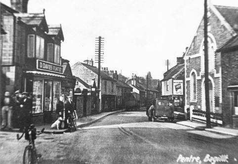
The towns of Buckley and Mold in the east of the county developed into industrial centres for pottery, coal mining, and brick making. They attracted workers from nearby Liverpool and the population quickly grew, but services failed to keep pace with the rate of change which resulted in poor living conditions and wages. Other villages in the county, such as Whitford, Lixwm and Nannerch, remained small hamlets that provided somewhere to worship for the neighbouring farmers. Most villagers worked locally, and few travelled far.
The hamlet of Mynydd Isa is located between the larger towns of Mold and Buckley. Today it is a small village of a few thousand people, but in the mid-19th century consisted of just a few clusters of houses dotted along the road between the two towns.
Denbighshire
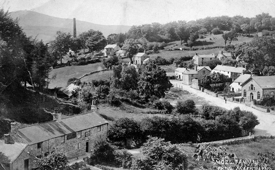
Denbighshire sits to the west of Flintshire and is mainly an agricultural area, with cattle and sheep farming in the upland areas and crops in the valleys. Many of the villages developed as no more than a place to put a church for the neighbouring hamlets. During the 19th century there was some coal and lead mining activity, with villages such as Maeshafn created by workers building their own cottages of just one or two rooms. Expansion of the railways led to a boom in development along the Irish Sea as seaside towns competed to attract day tippers and holidaymakers from nearby Liverpool. Towns such as Prestatyn and Rhyl became famous for their beaches, clean seas, and promenade entertainers.
Conwy
Conwy sits to the west of Denbighshire and is largely mountainous, with one third of the land today part of Snowdonia National Park. There are plenty of hamlets such as Bylchau and Llanelian yn Rhos, which are little more than a church and a few houses. The vast majority of the population live on the coast, particularly around the old seaside resorts of Colwyn Bay and Rhos-on-Sea.
Wrexham
Wrexham sits between the Welsh mountains and England and is the largest town in North Wales. The area was first settled by Bronze Age hunter-gatherers and later by the Romans, but its strategic location between England and Wales ensured that it was tussled over by various warring Welsh, English, Viking, and Anglo-Saxon forces for several centuries. Wrexham itself was a small trading town until the Industrial Revolution brought ironworks and large-scale industrialised collieries, which operated alongside hundreds of more traditional small-scale pits such as those at nearby Brymbo and Rhosllanerchrugog. By 1913 they produced 3 million tonnes a year and employed over 10,000 people, dominating the economic and cultural life of the area. The industry declined after the First World War and only two collieries remained by 1968, with the last closing in 1986.

